
12 December 2013
Lasers and radar find typhoon risks in the Philippines
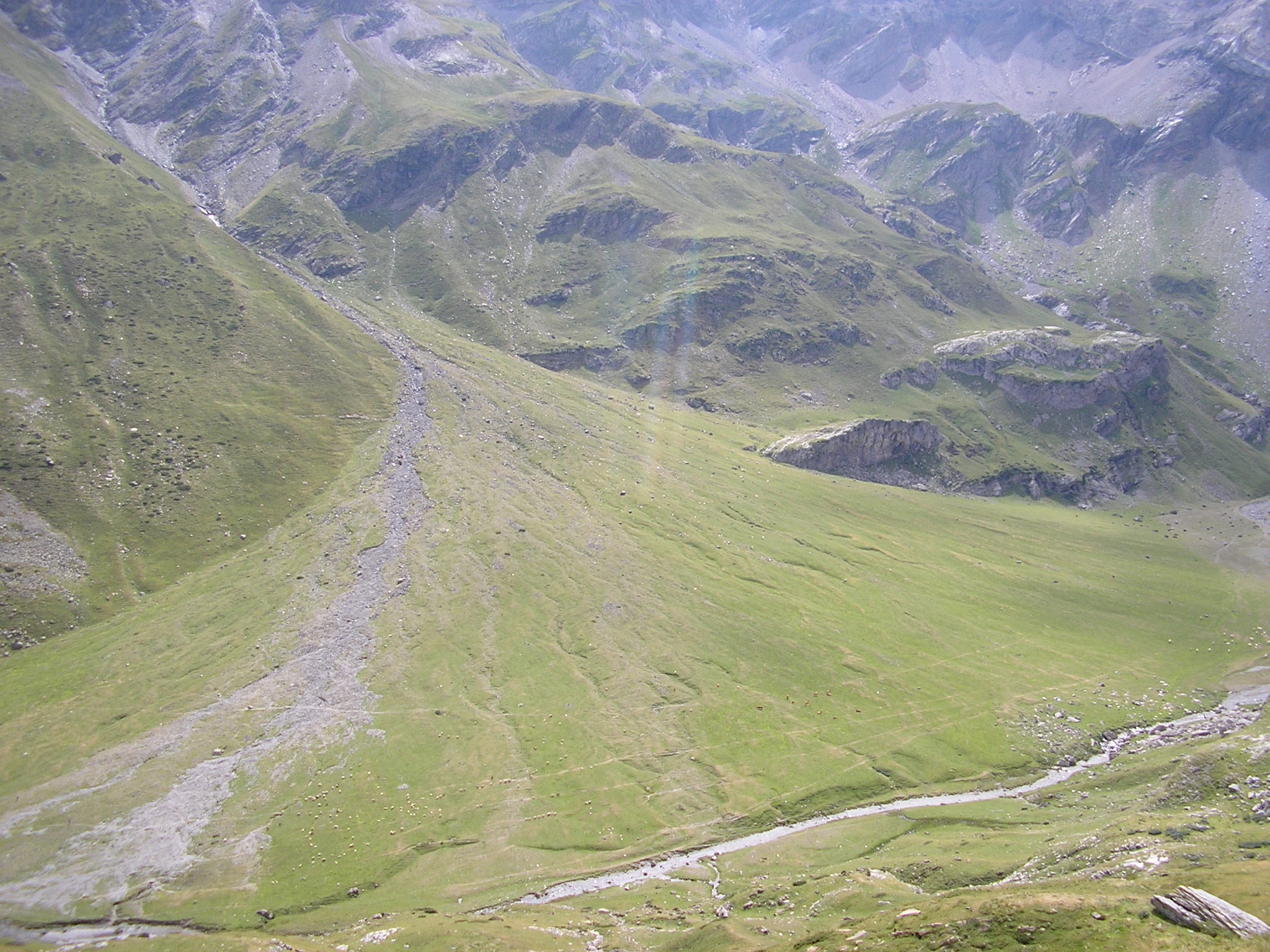
Alluvial fan in the French Pyrenees. Credit: Mike Norton
A new way to identify areas at risk for landslides will help countries avoid tragedies like super-typhoon Bopha. The storm slammed into the Philippines in 2012, killing 1,200 people and causing $1 billion in damage.
Scientists from the University of the Philippines are using lasers and radar to identify alluvial fans: sediment deposits resulting from streams or debris flows. Debris flows are landslides with rocks and dirt wet enough to flow like a liquid. The results were presented in a poster Wednesday afternoon at the American Geophysical Union’s Fall Meeting.
Alluvial fans form after debris flows or streams are forced through a narrow opening and then, when the confinement ends, allowed to blossom in all directions. The resulting soil is naturally fertile, and the fans indicate the availability of a steady water source, which makes them popular locations for human settlements. But they are also at risk for future debris flows and flash floods, especially when typhoons bring heavy rain.
“There are a lot of built-up areas sitting on alluvial fans, and many communities are not aware of the danger,” said Rodrigo Eco of the University of the Philippines, who co-authored the poster.
Last year, the Philippine government invested millions of dollars in LiDAR. The name is a combination of light and radar. Scientists shoot lasers out of airplanes and create detailed topographical maps based on how the light reflects back. The University of the Philippines team combined LiDAR data with information gathered using synthetic aperture radar, which uses radar bounced down from satellites to characterize the landscape.
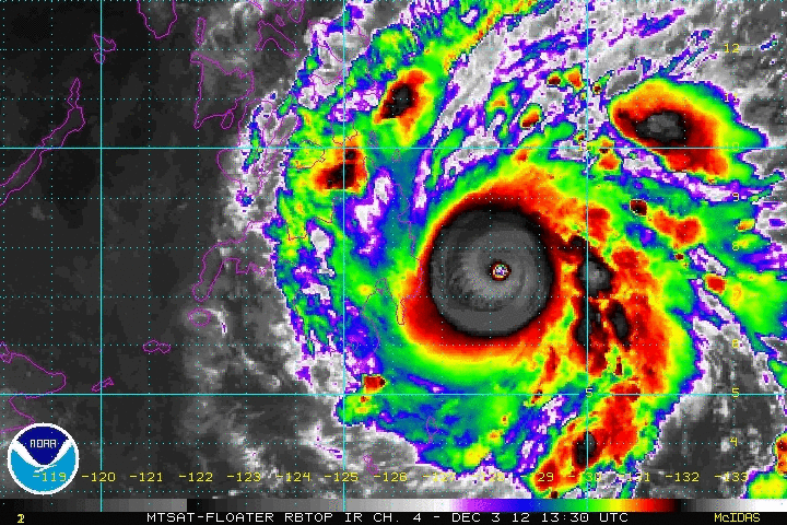
Supertyphoon Bopha making landfall, 2012. Click to view animated version. Credit: NOAA Satelline Services Division
Using these two technologies, the scientists mapped alluvial fans across the Philippines. Soon the information will be publicly available on the internet, helping the government and individuals improve safety.
The maps can help developers build safely by being more aware of what areas are at risk of debris flows and flash floods. When typhoons do strike, people can compare the typhoons’ likely path to the alluvial fans and determine which areas should be evacuated. The government has also started educational campaigns to teach the public about the dangers of living near the fans and how to prepare for any natural disasters.
“This will help people plan ahead, so there doesn’t have to be tragedy,” said Dakila Aquino of the University of the Philippines, the lead author of the poster.
– Cat Ferguson is a science communication graduate student at UC Santa Cruz