
22 April 2010
Early hurricane forecasting: Don’t bet the farm on it
Posted by Michael McFadden
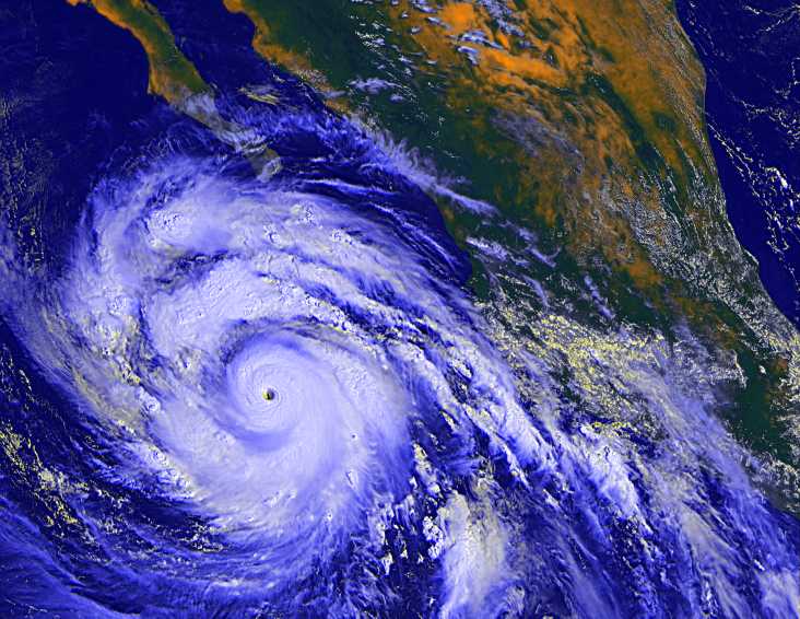
Hurricane Linda, the strongest Pacific hurricane on record (Credit: NASA).
A few different groups of researchers and weather forecasters have put out predictions this month for Atlantic hurricanes, with most predicting more hurricanes than normal this summer. But are these predictions worth paying attention to?
According to a 2007 paper in the World Meteorological Bulletin, such predictions in the past have almost no link with what actually happens. In fact, not until hurricane forecasters issued their July and August pronouncements have they demonstrated much skill at predicting what’s to come.
So why bother issuing these forecasts in the first place? I asked Phil Klotzbach of Colorado State University at Fort Collins about this, since the forecasts that he and his mentor—veteran hurricane predictor William Gray, also at Colorado State—put out each year are probably the most widely publicized.
“When we put out the April forecast, we have to put in a lot of caveats,” Klotzbach says. As he and Gray admitted in a Geophysical Research Letters paper last year, their early predictions for each season—those issued in December and April—”have shown little real-time forecast skill.” Between April and the official start of the hurricane season, June 1st, “a lot can change,” Klotzbach notes.
But “it’s a good exercise,” he adds, to see how well they understand how hurricanes form. “It’s our best effort. But don’t bet the farm on it.”
These early forecasts are bedeviled by what climate scientists and meteorologists call the “springtime barrier”—a wall that blocks their view of what’s to come in the summer. This is all the fault of El Niño—the unpredictable pattern of wind and ocean currents in the Pacific.
El Niños recur every 2 to 7 years, and once one kicks in, we know better what to expect: More rain in California and along the west coast, drought in Australia, and (among other effects) fewer hurricanes in the Atlantic. But predicting El Niño before the spring has been near-impossible.
Nonetheless, researchers are getting a better handle on this, Klotzbach says, as they take more measurements of the ocean, building up a longer track record to draw on. One realization that’s made a difference, he says, is that “it’s not just the surface water temperatures, but also what’s going on below the surface” that matters.
It’s still too early to see if those improvements in understanding El Niño will make a big improvement in hurricane forecasts this long before the season. Most other researchers—including the National Oceanic and Atmospheric Administration and the UK’s Met Office—wait until later in the year to issue their first prognostications of what the coming hurricane season will be like.
But even if the April forecasts don’t do well at predicting the year to come, they’re still valuable as an early reminder to people in Florida, Louisiana, and other hurricane-prone areas to be prepared. As Klotzbach puts it, “it only takes one storm to make it an active season for you.”
–Mason Inman, contributing science writer