November 19, 2012
Matsang Tsanpo Glacier Retreat, Tibet
Posted by Mauri Pelto
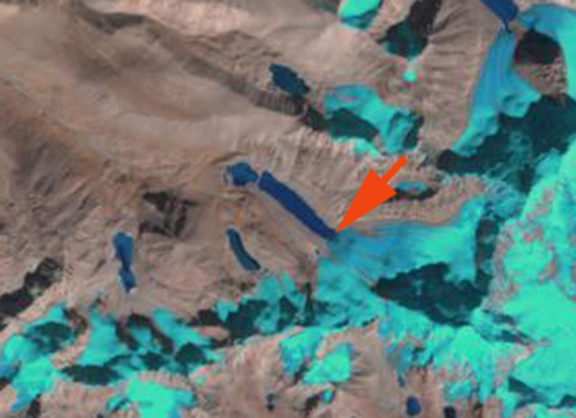
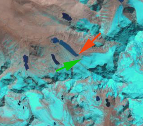
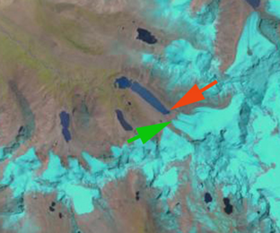
The glacier retreat of the entire region of southwest China has been rapid and extensive(Li et al, 2011). This post focuses on an unnamed glacier, in the Matsang Tsanpo basin, Sun Khosi River in Nepal, at 28 18 N and 86 10 E. The glacier is located just 10 km east of the Friendship Highway which extends from Kathmandu, Nepal to Lhasa, Tibet. This glacier is north of Nyalam, which translates to Gates of Hell. Analysis is of Landsat imagery from 2000, 2009 and 2011 and Google Earth Imagery from 2011. The Sun Khosi has one major 10.5 MW hydropower station. The second image is the Google Earth image, the green arrow is the current terminus, the orange arrow the 2000 terminus at the edge of the lake, the purple arrows the lateral moraines from the Little Ice Age and the red arrow the Little Ice Age end moraine. 
 . The glacier retreat from 2000 to 2011 is 240 meters. In the Landsat images the orange arrow indicates the 2000 terminus and the green arrows the 2009 and 2011 terminus in their respective images. The last image illustrates fluted moraine to the right of glacier terminus at the red arrow and the purple arrows indicate deep river channels in the glacier surface. The river channels would not be that deep if the glacier was not stagnant near its terminus.


 The retreat of this glacier is similar to that of other glaciers in the area such as Reqiang Glacier and Menlung Galcier. Jin et al (2005) noted that glaciers in the adjacent Pumqu River Basin of southern Tibet were in rapid retreat. This is the dominant response of the high mountain glaciers of central Asia.


 Dean of Academic Affairs at Nichols College and Professor of Environmental Science at Nichols College in Massachusetts since 1989. Glaciologist directing the North Cascade Glacier Climate Project since 1984. This project monitors the mass balance and behavior of more glaciers than any other in North America.