October 4, 2012
Knife Point Glacier Retreat (Dissappearing), Wind River Range, Wyoming
Posted by Mauri Pelto
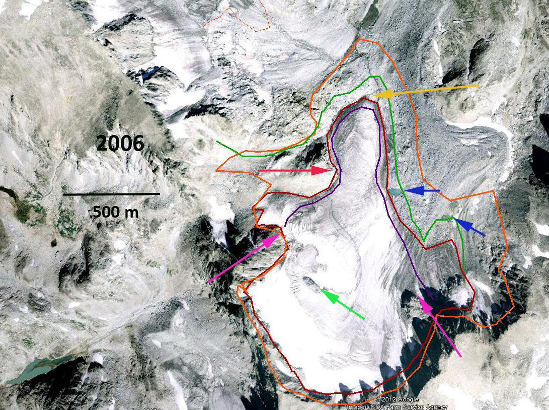
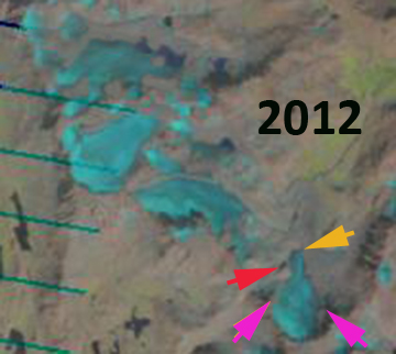
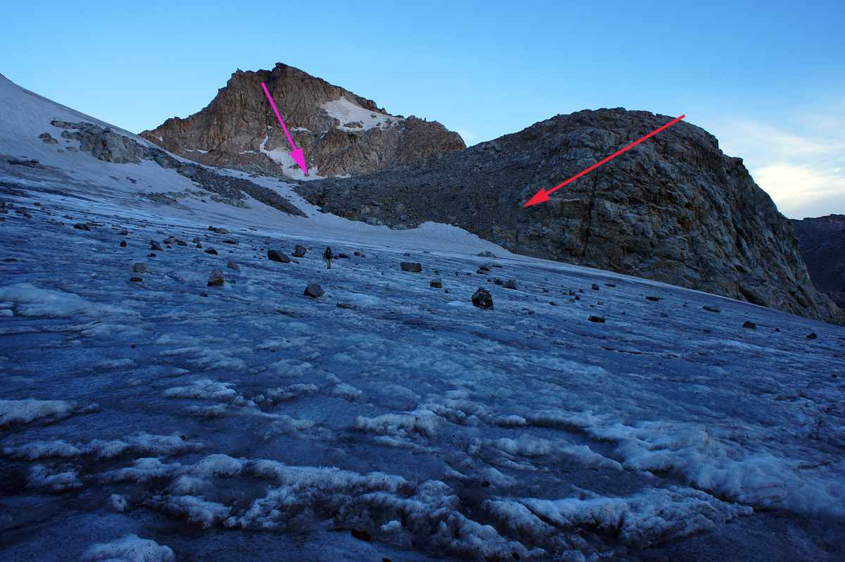
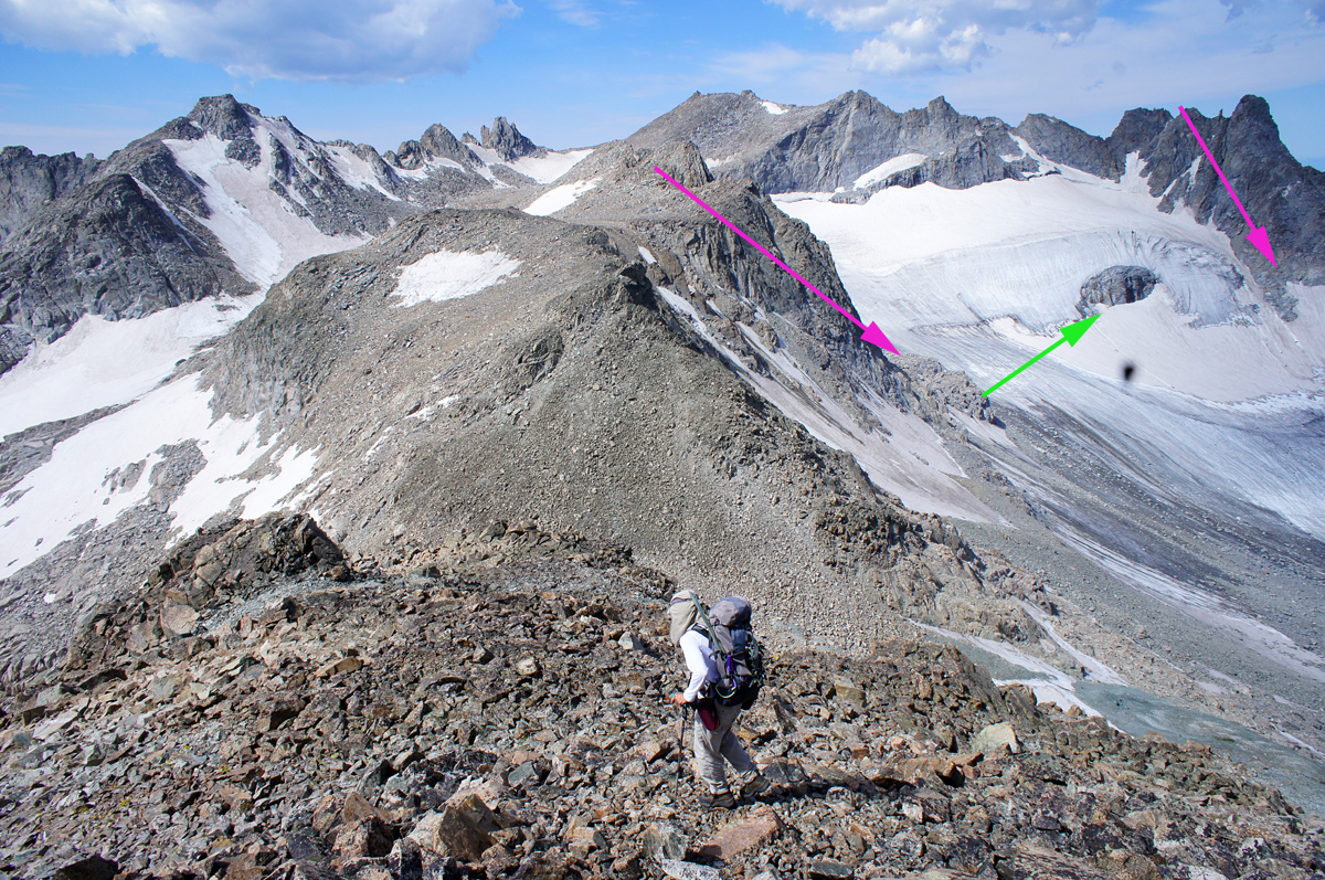
The Wind River Range is host to 40 glaciers that all have retreated significantly over the last 25 years and 45 years. Of the 15 glaciers observed in detail, nine will not survive current climate (Pelto, 2008). This is based on the lack of a persistent and consistent accumulation zone essential for glacier survival (Pelto, 2010). Thompson et al (2011) quantified the loss in area, of the 44 glaciers was estimated to be 45.9 km2 in 1966 and 28.6 km2 in 2006, a decrease of 38%. Here we examine Knife Point Glacier using Google Earth images from 1994, 2006, 2012 Landsat imagery and some 2012 photographs. The magnificent photographs are from Sarah T, who during the course of an impressive 2012 climbing season, climbed Knife Point. A comparison of its extent from 1966 USGS map, 1994 USGS aerial photography and 2006 satellite image in Google Earth indicate the retreat. The 1966 glacier boundary is outlined in orange, 1994 boundary in green, 2006 boundary in red and 2012 boundary in purple. The arrows in each image point to the same location. The yellow arrow to the 2006 terminus, green arrow to the upper glacier rock outcrop, magenta arrow to the prominent ridges now marking either side of the glacier, and the red arrow the bedrock knob that is now just above the terminus. In 1966 the glacier was connected to the Bull Lake Glacier to its northwest. By 1994 the glaciers were separated and a small lake had formed at the eastern terminus. By 2006 the eastern lake had largely filled in with sediment and another small lake had formed and the eastern side of the glacier had retreated more than the terminus. By 2012 the glacier shape had become confined to the central basin at the top with a narrowing glacier terminus tongue. The glacier area has declined from 1.5 km2 in 1966 to 0.8 km2 in 2012, a 46% loss in area. The main terminus has retreated 360 meters from 1966-2012. The width of the glacier on the east side has declined by 300 m. At the green arrow a small bedrock knob has expanded from 1966-2012. This is in the middle of the accumulation zone and indicates the lack of persistent and consistent snowcover. There is almost no snowcover left in the 9/27/2012 image of Knife Point Glacier. 

The images from Sarah T, are from late July and despite there being two months left in the summer season the glacier has lost most of its snowcover. The lack of crevassing despite the slope indicates the thin inactive nature of the glacier. 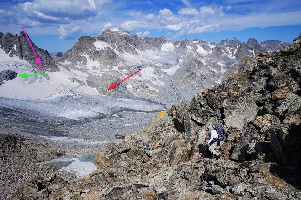

The response of this glacier to climate parallels that of Lower Fremont Glacier, Minor Glacier and Sourdough Glacier.


 Dean of Academic Affairs at Nichols College and Professor of Environmental Science at Nichols College in Massachusetts since 1989. Glaciologist directing the North Cascade Glacier Climate Project since 1984. This project monitors the mass balance and behavior of more glaciers than any other in North America.