
18 January 2016
Beware of Fake Snowfall Maps on Social Media
Posted by Dan Satterfield

Long-range model guidance is in good agreement that a major nor’easter will develop late Friday. Just where the heavy snow will fall is still quite uncertain.
There is a real possibility of a major winter storm this weekend in the I-95 corridor from DC to Boston, and it may impact New Jersey and the Delmarva area as well, with high winds and perhaps some heavy snow. That said, it’s just too far out right now to pin down accumulation amounts. The rain snow line will be right across the area, and experience shows that 5 days away from an event, the models usually do a rather poor job of predicting where that line will set up. In snow forecasting just a degree or two difference can mean the difference between a foot of snow and a lot of rain! This is why responsible meteorologists do not post raw model data more than 3 days away from an event. It’s just not likely to be correct, and could actually give someone a false sense that the storm will not impact them.
I have even seen data from the European Center for Medium Range Forecasting model posted online, and this is in violation of copyright laws. That data is proprietary, and is not generally available unless you pay for a license to the data. Do not share it, because you will be violating copyright laws if you do.
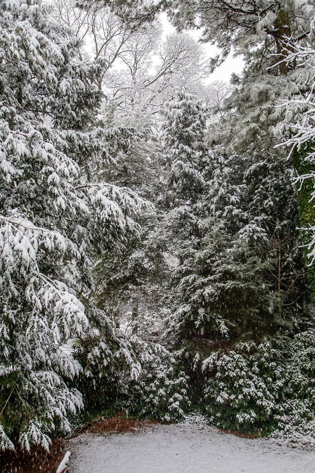
My back garden on the Eastern Shore of Maryland Sunday. Much more snow may be headed for the NE later this week.
If you see a map showing snowfall totals, it almost certainly did not come from NOAA, or an AMS Certified meteorologist. There are even hoax maps floating around from storms in the past. We synoptic forecasters will start to have an idea by later Wednesday on how much snow could fall across the region, but for now you should know that it looks like heavier snows are possible from Virginia north and east, with very heavy snows in the Baltimore and Philly areas.
As of now the heaviest snowfalls looks to be west of I-95, but that may change! It’s more likely that there will be strong onshore winds (over 40 mph) on Friday night into Saturday along the coast from Virginia and Maryland, to Boston, with the possibility of major beach erosion. New York and Boston are also on the rain snow line as of now, and it is too soon to make ANY prediction of snow there as well.
What we can say is that if you live in the Northeast U.S., there will be a major storm this weekend, and it may bring very heavy snow and perhaps blizzard conditions to some areas. Plan accordingly, and take it seriously.
 Dan Satterfield has worked as an on air meteorologist for 32 years in Oklahoma, Florida and Alabama. Forecasting weather is Dan's job, but all of Earth Science is his passion. This journal is where Dan writes about things he has too little time for on air. Dan blogs about peer-reviewed Earth science for Junior High level audiences and up.
It’s very logical that parts of the US are getting more snowfall. More moisture in the air. The jet stream is getting wavier as the Arctic has at least twice as much warmed than the rest of the globe. And ever faster melting Greenland glaciers have caused a growing cold spot in the North Atlantic. Have a look at recent years:
https://www.ncdc.noaa.gov/sotc/service/global/map-percentile-mntp/201301-201312.gif
http://www.cmcc.it/wp-content/uploads/2015/01/201401-201412-1.gif
https://www.ncdc.noaa.gov/sotc/service/global/map-percentile-mntp/201501-201511.gif
Ireland had a rough summer and vast floods after.
And the outlook is anything but innocuous => Study: Melting Greenland ice sheet is rapidly slowing the Gulf Stream
http://mashable.com/2015/03/24/gulf-stream-slowdown-study-tipping-point/