
20 June 2015
The Ghost of Bill Heads for The East Coast
Posted by Dan Satterfield
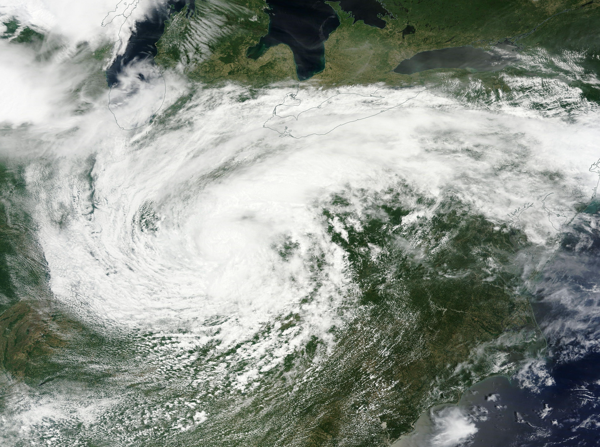
From NASA Terra Satellite Saturday in true colour.
It’s a summer weekend here in the Mid-Atlantic, and that means thousands are on the beaches from Fire Island To Ocean City in Maryland, while at the same time, the Firefly music festival just north of Dover in Delaware has drawn a crowd of 95,000 people to see such acts as Paul McCartney (I typed that name standing up of course) and Snoop Dog. Now, add in the remains of Bill (and a very tropical air mass) and you have the potential for big trouble.
Bill has maintained a distinct identity much longer than any recent tropical cyclone I can remember (see Brown Ocean Effect and note the papers below the wiki entry), although it is now an extratropical low pressure. It will still produce a lot of rain over the Mid-Atlantic tonight, and perhaps severe storms as well as it approaches. With thousands camping at Firefly and potential of flash flooding, forecasters like me are on high alert.
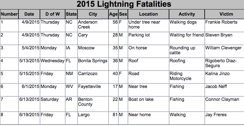
I tweeted out the image below earlier today as a reminder that lightning kills. Flash floods kill more though.
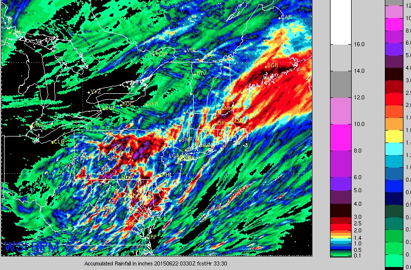
 The WSI RPM model is my preferred guidance today and the latest run is very wet. This is rainfall over the next 33 hours.
 Dan Satterfield has worked as an on air meteorologist for 32 years in Oklahoma, Florida and Alabama. Forecasting weather is Dan's job, but all of Earth Science is his passion. This journal is where Dan writes about things he has too little time for on air. Dan blogs about peer-reviewed Earth science for Junior High level audiences and up.