
1 April 2015
Jaw Dropping Images of Super Typhoon Maysak
Posted by Dan Satterfield
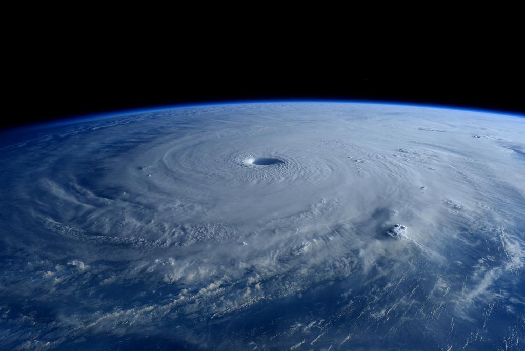
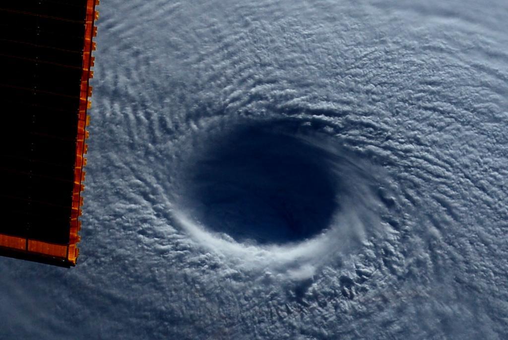
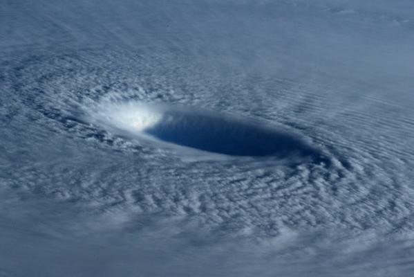
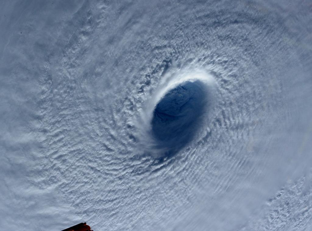
From NASA on the ISS. (Click on any of the images in this post for a larger version.)
NASA Astronauts have been sending back jaw dropping images of Super Typhoon Maysak, headed toward the Philippines with winds of nearly 240 km/hr. Astronaut Terry Virts uploaded some incredible photos of the eye of Maysak to his Twitter account as well and they provide one of the best views of an intense tropical cyclone ever made from low Earth orbit.
The Super Typhoone is likely going to hit the northern Philippines in about two days, but it should weaken somewhat to a Category 2 storm with winds of around 180 km/hr.

Water temps off of the Philippines are not particularity warm right now, so Maysak should weaken as it approaches.
See the images from AstroTerry below:
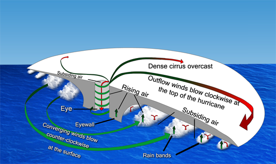
The wind flow at the top of a tropical cyclone is anticyclonic, in other words the wind is spiraling out of the storm in a CLOCK-WISE direction. The winds at the bottom of the eye are in a strong cyclonic flow. See image below from COMET/NCAR:
 Dan Satterfield has worked as an on air meteorologist for 32 years in Oklahoma, Florida and Alabama. Forecasting weather is Dan's job, but all of Earth Science is his passion. This journal is where Dan writes about things he has too little time for on air. Dan blogs about peer-reviewed Earth science for Junior High level audiences and up.