
3 February 2017
Friday fold: Squaw Creek Schist, Idaho
Posted by Callan Bentley
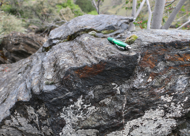
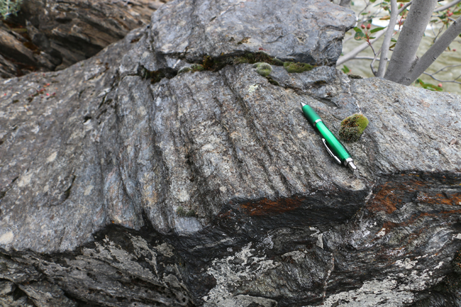
Today’s set of Friday folds comes from just south of the Time Zone Bridge in the Canyon of the Salmon River, Idaho.
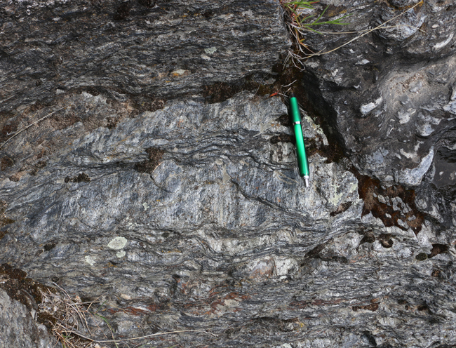
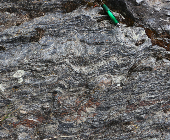
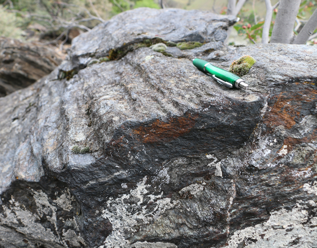
Can’t see them very well in that view? Very well, let’s switch from a perspective looking down on the plane of foliation to looking along the plane of foliation…
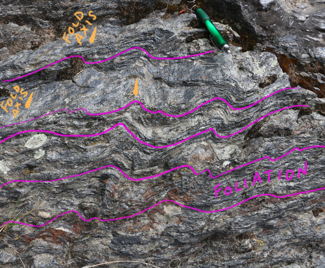
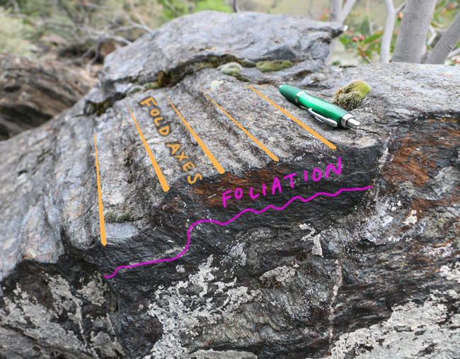
Annotated view:
The rocks are mapped as the Squaw Creek Schist, a common unit near Riggins.
Basically, the edge of ancestral North America can be found in here. Folds exposed the Squaw Creek Schist are a result of the stresses of adding terranes onto North America’s westward margin. When Pangaea formed in the late Paleozoic, North America was moving relatively eastward, causing deformation and metamorphism along its eastern edge (the Appalachians). When Pangea broke up, North America started moving westward, opening up the Atlantic Ocean in its wake, as well as smashing into various terranes (chunks of crust) along its new ‘leading’ edge, the west. These terranes started off as oceanic crust, or island arcs, or microcontinents, out there in the wide Pacific Ocean (recently formerly known as Panthalassa). Multiple lines of evidence suggest that western Idaho was the “cowcatcher” on the front of the proverbial train. The Squaw Creek Schist could be thought of tectonic “roadkill” splattered onto the front of this continental Amtrak. As the continent thundered westward, it accumulated quite a bit of crustal debris all over its front bumper. Today we call that “Washington state,” and “Oregon.”
Here’s another nearby outcrop with a 3D exposure of a crenulated fold train:
Annotated view:
These rocks were a stop on the excellent field trip I did looking at the accretionary tectonics of western Idaho, following the Rocky Mountain Section meeting of GSA last May.
Happy Friday!
 Callan Bentley is Associate Professor of Geology at Piedmont Virginia Community College in Charlottesville, Virginia. He is a Fellow of the Geological Society of America. For his work on this blog, the National Association of Geoscience Teachers recognized him with the James Shea Award. He has also won the Outstanding Faculty Award from the State Council on Higher Education in Virginia, and the Biggs Award for Excellence in Geoscience Teaching from the Geoscience Education Division of the Geological Society of America. In previous years, Callan served as a contributing editor at EARTH magazine, President of the Geological Society of Washington and President the Geo2YC division of NAGT.