
3 June 2016
Friday fold: Riggins, Idaho
Posted by Callan Bentley
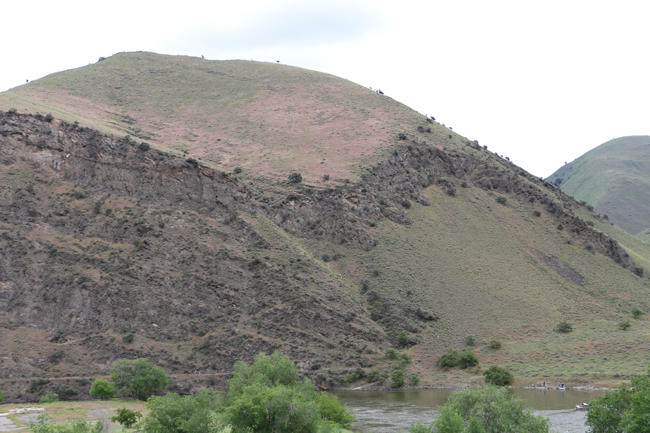
There are some folds in this stunning west Idaho landscape. Perspective is looking toward the north, more or less. See if you can find them:
Link GigaPan by Callan Bentley
One example that will probably be obvious at first glance is this syncline/anticline pair, differentially weathered, with subvertical axial traces, and an apparently shallow plunge of the axes to the south:
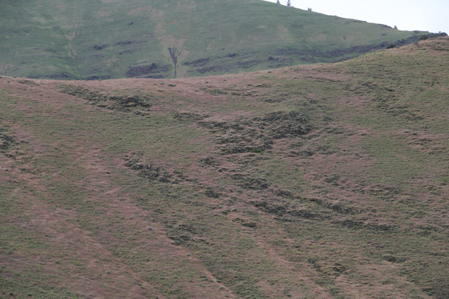
A more subtly expressed example is on the hill to the east (left), where differential weathering reveals a “Z” fold outcrop pattern:
Here are two annotated versions of the initial GigaPan image, with the trace of the foliation of the Squaw Creek Schist traced out in yellow (and projected into the sky in black) and the axial surfaces of the folds sketched in using red:
Link Annotated GigaPan by Callan Bentley
Link Annotated GigaPan by Callan Bentley
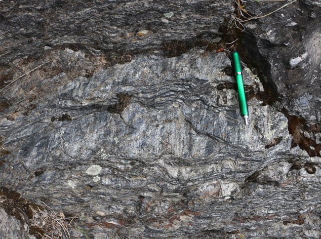
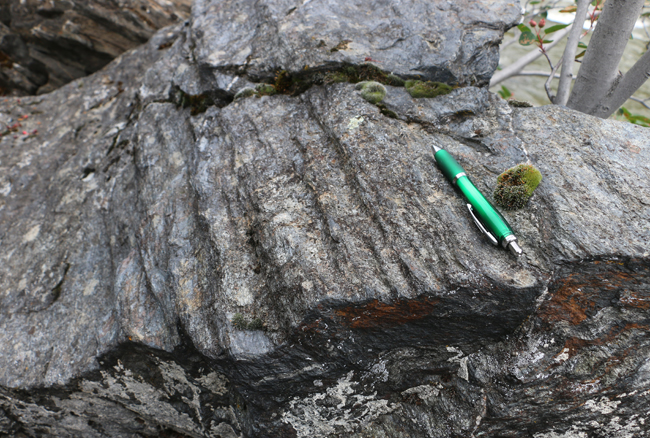
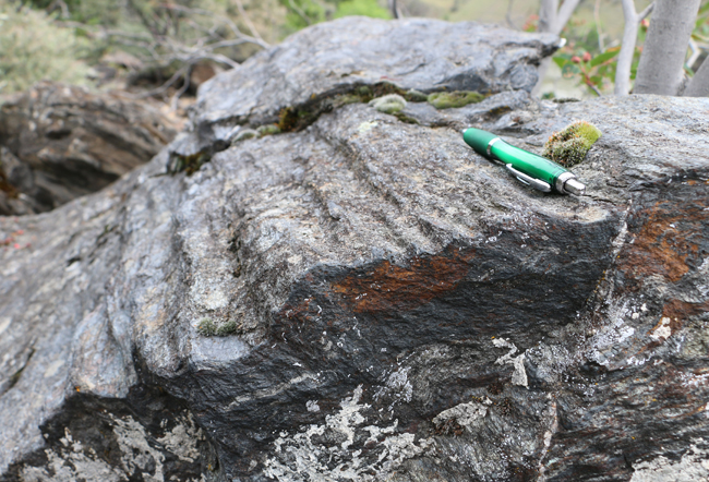
The region (Riggins, Idaho) has smaller scale folding too: here are some cm-scale folds from just south of the Time Zone Bridge, north (downstream) of Riggins:
Example 1 (two perspectives):
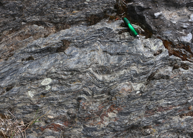
Example 2 (two perspectives):
I visited Riggins the week before last on a GSA field trip (“Accretionary Tectonics of Western Idaho”) led by Keegan Schmidt, Reed Lewis, and Keith Gray. I’ve got plenty more photos to share from that trip… stay tuned!
 Callan Bentley is Associate Professor of Geology at Piedmont Virginia Community College in Charlottesville, Virginia. He is a Fellow of the Geological Society of America. For his work on this blog, the National Association of Geoscience Teachers recognized him with the James Shea Award. He has also won the Outstanding Faculty Award from the State Council on Higher Education in Virginia, and the Biggs Award for Excellence in Geoscience Teaching from the Geoscience Education Division of the Geological Society of America. In previous years, Callan served as a contributing editor at EARTH magazine, President of the Geological Society of Washington and President the Geo2YC division of NAGT.