16 October 2012
Benchmarking Time: Fish Lake Hightop, Utah
Posted by Jessica Ball
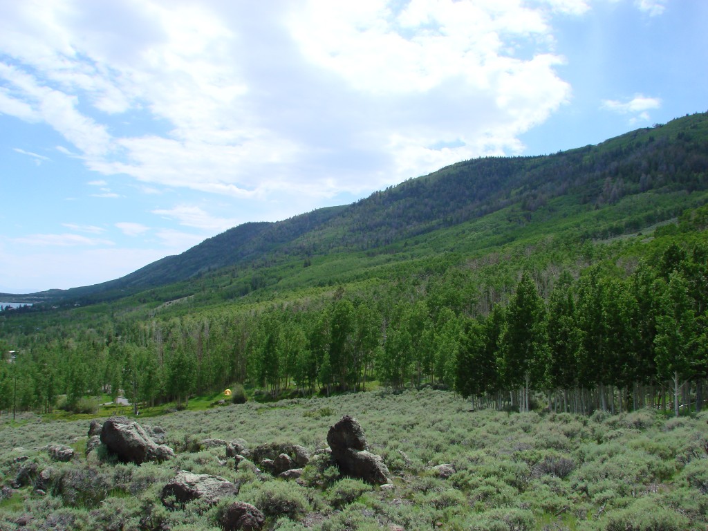
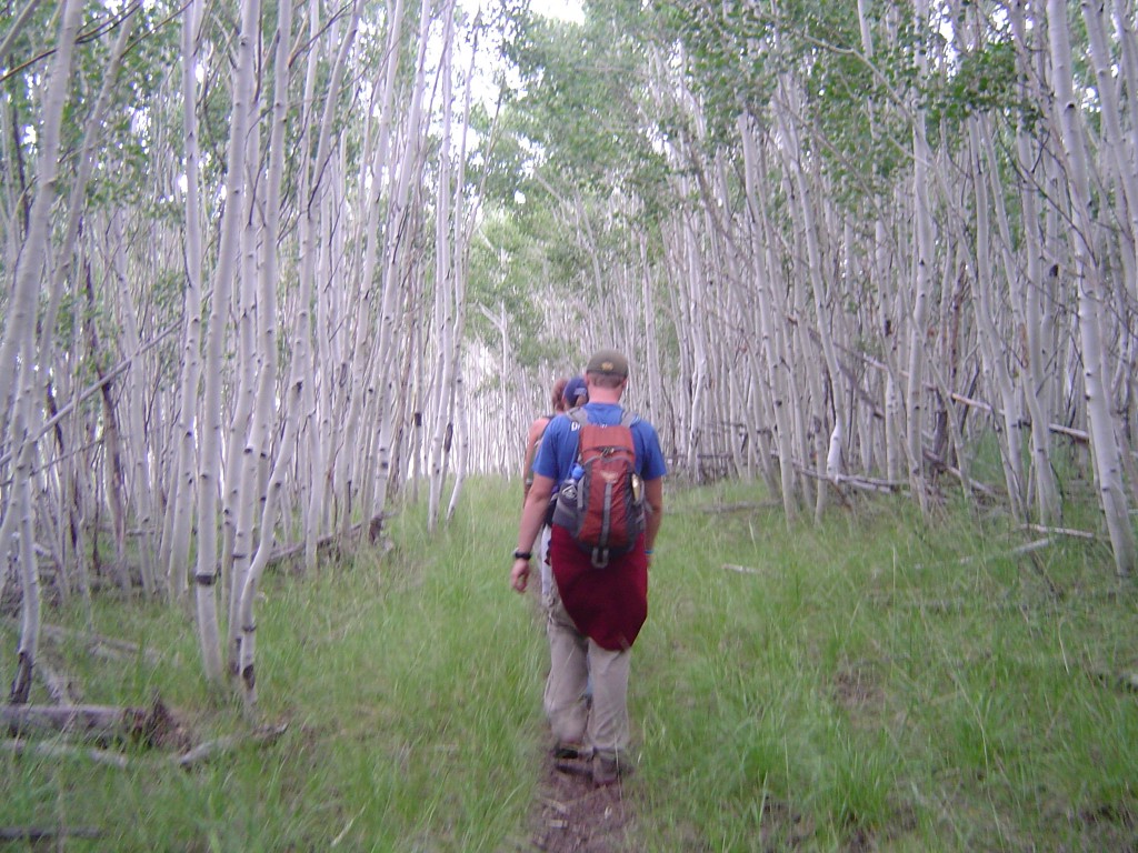
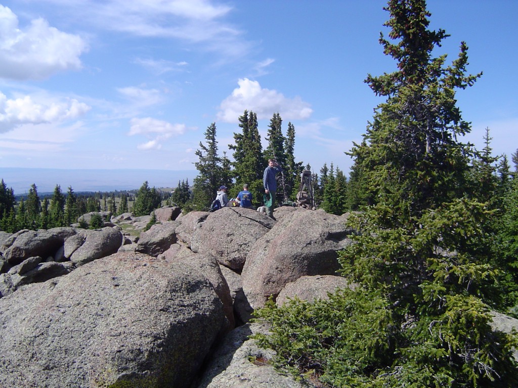
For this week’s benchmark, I thought I’d share one of my favorites: the USGS marker on the highest point in my undergraduate field area, the Fish Lake Plateau in Utah. Fish Lake itself, which sits in a graben, is bounded by Mytoge Mountain on its southeast side and the Fish Lake Hightop on the northwest. The Hightop is accessible from the Pelican Canyon Trail, which leads you over a moraine and up a lovely glacial valley.
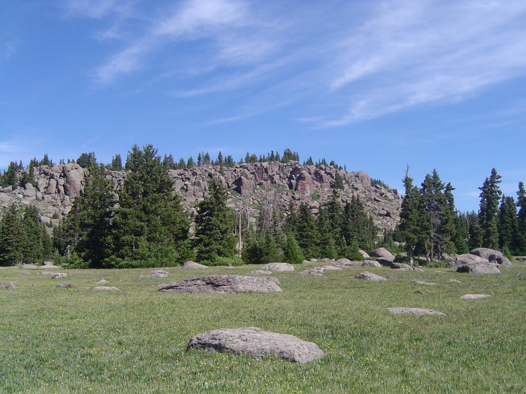
Once you reach the top of the trail, you’ve got a little scrambling to do before you reach the summit…
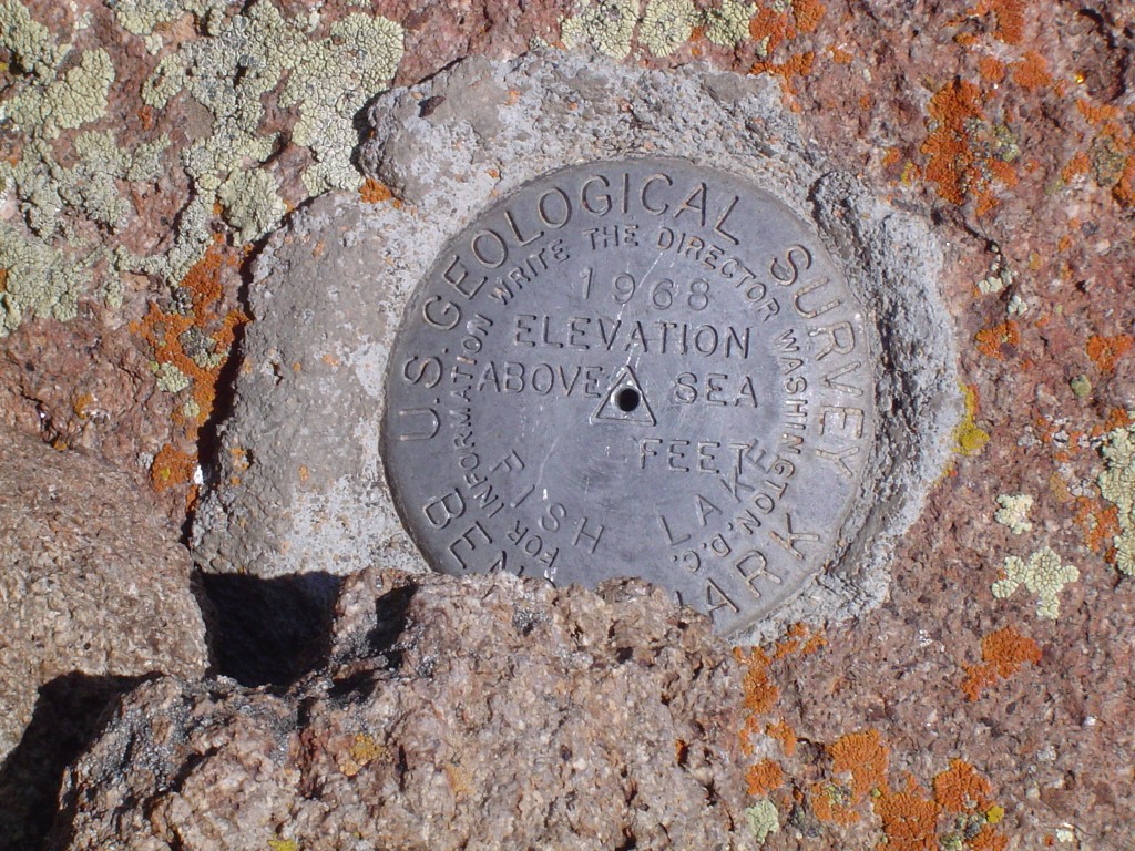
And see this!
I had a great laugh at this when I finally found it, because honestly, there’s nothing more ironic than having dragged a bunch of concrete and a heavy brass marker up to 11,633 ft / 3,546 m and then realizing that you forgot to engrave the elevation on the thing. I’ve always kind of wondered if the USGS knows that – could there be some obscure reason why it was never engraved? (Anyone from the USGS, who do I write to about getting this fixed? Does anyone care?)
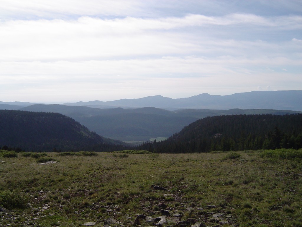
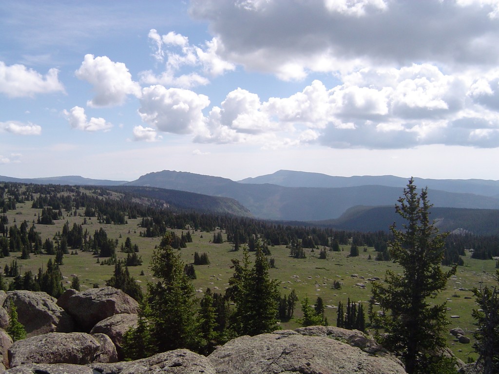
Elevation-less benchmark aside, it’s a beautiful view from the Hightop.


 Jessica Ball is a volcanologist at the U.S. Geological Survey, researching volcanic hydrothermal systems and stability, and doing science communication for the California Volcano Observatory. She previously worked at the Geological Society of America's Washington DC Policy Office, learning about the intersection of Earth science and legislative affairs. Her Mendenhall postdoc and PhD focused on how water affects the stability of volcanoes, and involved both field investigations and numerical modeling applications. Her blogging covers a range of topics, from her experiences in academic geosciences to science outreach and communication to her field and lab work in volcanology.
ja ja ja That’s why I always carry my portable GPS. Hey, it’s a great opportunity for those promoting conspiracy theories.
Call 888-ASK-USGS for Benchmark information.