
12 December 2013
Holy city of Islam lies in volcanic peril
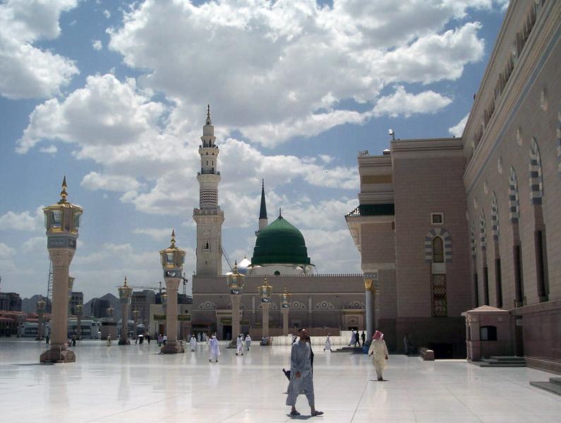
Al-Masjid al-Nabawi, a mosque built by the prophet Mohammed, in Al-Medinah. Credit: Noumenon
Researchers have designed a new model to predict the riskiest areas of Al-Madinah, the second holy city of Islam that sits at the northern tip of a dangerous volcanic field. The model could improve evacuation and building planning for the city.
Drawing from a number of disciplines, including statistics and geochemistry, researchers from the University of Auckland designed a new model for assessing where eruptions are most likely to occur along a fault line.
To test the model, they used data from Harrat Rahat, a volcanic field in Saudi Arabia. They used information gathered during the 2009 earthquakes in Harrat Lunayyir, a remote area of the country a few hundred kilometers from Al-Madinah. A failed volcanic eruption set off more than 30,000 earthquakes in the region, driven by magma from Harrat Rahat. The event forced scientists to reassess theories about how magma travels through the earth.
The Auckland team’s analysis showed that Al-Madinah, the burial place of the prophet Mohammed, has a high risk of being in the way of a volcanic eruption. Al-Medinah has a population of nearly 1.2 million people.
“This is the first time we’ve put together all the data to see exactly where the danger is. And the next eruption is likely to be close to the city,” said Melody Runge, a geology graduate student who presented a poster describing the new model during the American Geophysical Union’s Fall Meeting in San Francisco.
Al-Medinah’s airport is built directly into the lava flow from Harrat Rahat’s last eruption, which occurred in 1241 A.D. The volcanic field, whose boundaries were determined by the University of Auckland scientists, is crisscrossed with roads and bisected by an oil pipeline, and the city is building a train line directly across the danger zone.
“It’s really hard to get people to change where they’re building,” Runge said. “This (model) let’s us do emergency management – when there’s an interruption we can tell people, go northwest.”
Measurements taken during the Harrad Lunayyir earthquakes gives a good picture of a failed eruption, which occurs when magma forces its way through a plate, fracturing rock deep below the surface and priming the area for more volcanic activity. The 2009 event drove magma up to just two kilometers below the Earth’s surface.
When the resulting earthquake swarm first began, Saudi Arabian and American scientists flocked to the area to collect real-time data of the event. Although most of the eruptions were small, two registered more than a magnitude of 5 on the Richter scale. One opened up an eight kilometer fissure, forcing 40,000 people to evacuate.
– Cat Ferguson is a science communication graduate student at UC Santa Cruz