
9 December 2011
Photographing lava helps measure its flow from afar – safely
Posted by kramsayer
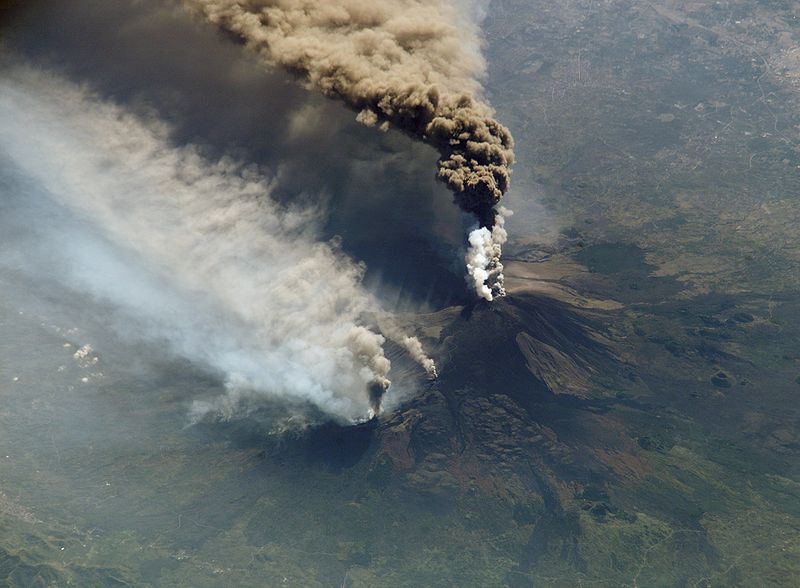
- Researchers are using cameras and lasers to document the lava flows at Mt. Etna, Europe’s tallest active volcano. (Credit: NASA)
Some volcanoes erupt in violent explosions – think Mount St. Helens or Vesuvius – while others ooze more gradually, spewing out lava for weeks or months at a time. The lava has the potential to engulf homes and farm fields in its path, so scientists are interested in measuring the direction, speed and distance of flows.
However, studying active volcanoes on the ground can be a dicey undertaking.
“At the start of an eruption, getting to the eruption site and sticking things into lava to measure (flow) properties is not a simple thing to do, it’s not a safe thing to do,” said Jane Applegarth a post doc at Lancaster University in Lancaster, UK.
Applegarth presented a poster on Wednesday morning at the American Geophysical Union’s Fall Meeting describing how she and other researchers are developing ways to remotely measure the flow of lava using lasers and cameras.
Their field site is Mount Etna, located on the east coast of Sicily. An imposing 3,330 meters (10,922 ft), it’s the tallest active volcano in Europe. When Etna erupts, the lava is of the gradual outpouring variety, with flows that slide down the mountainsides. Measuring the properties of these lava flows is no easy feat.
“They’re not just a liquid that’s similar all the way through,” Applegarth said. “They have crystals in there as well – and in the case of Etna, quite a lot of crystals.”
These crystals increase as the lava cools and make the flow sluggish. “At Mount Etna, a lava flow is a lot more like tomato ketchup than golden syrup,” Applegarth explained, using a time-honored tradition of volcanologists to compare lava to food items.
In May 2008, Etna started an eruption that lasted for 15 months. Applegarth and her colleagues tested their technology during the tail end of the June 2009 eruption. They set up a laser scanner on a ridge overlooking the valley in the path of the lava flows, and used it to map the features of the ground. They also set up a camera to take photos of the lava every 15 minutes.
This series of time-lapse images, combined with a three-dimensional rendering of the topography, helped the scientists track the flow in space and time. From these images, they calculated features such as the length, speed and slope of the flow – key factors for calculating how lava moves.
However, many uncertainties remain in using this technique to truly understand how lava flows, Applegarth said. A key missing piece is the depth of the flow – a notoriously tricky measurement to take even in the field as jamming a pole to the bottom of an active lava flow is essentially the best option for taking these measurements. Still, cameras and scanners may one day help scientists quickly predict the flow of a volcanic eruption without risking their lives in the hot zone – even if some might consider that the most thrilling part of the job.
-Erin Loury is a science communication graduate student at UC Santa Cruz.