August 19, 2010
Daniels Glacier Recession Increases 2010
Posted by Mauri Pelto
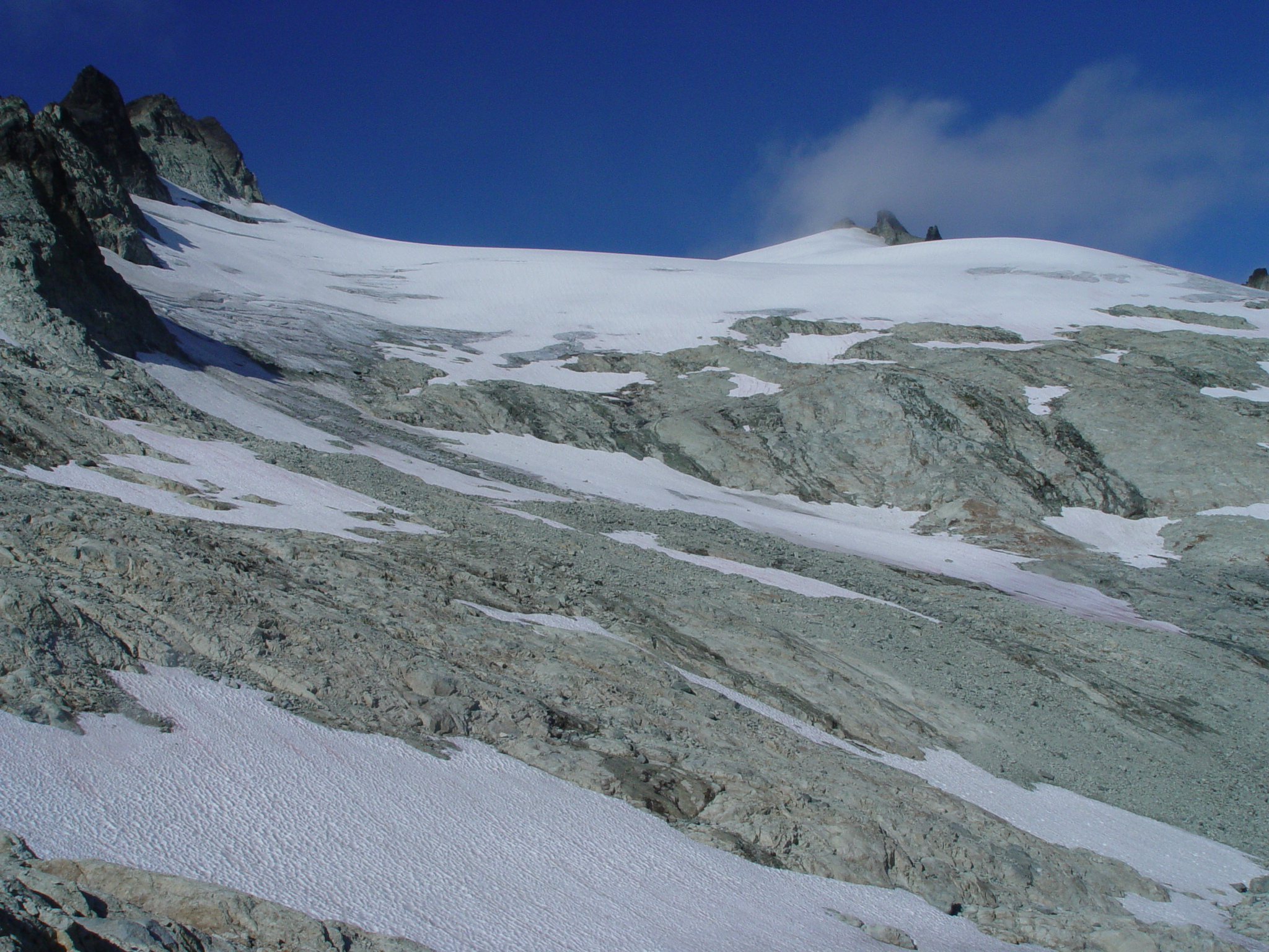
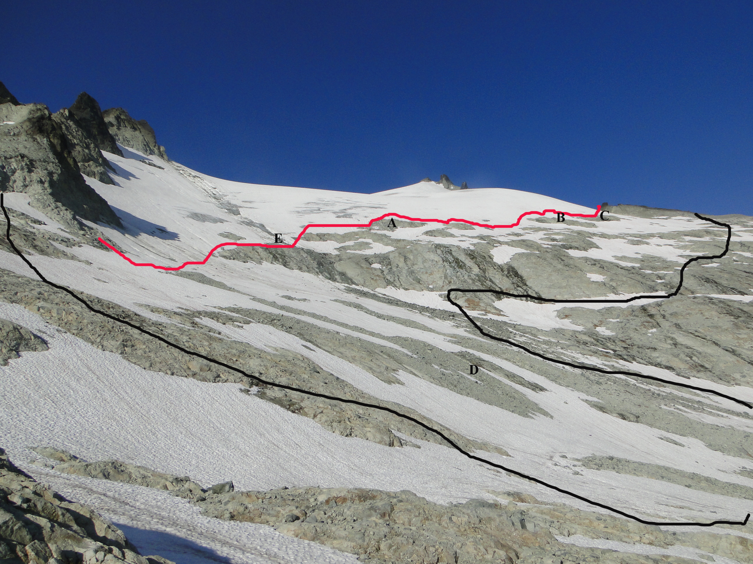
The 2010 North Cascade Glacier Climate Project Field Season found extensive retreat and areal extent loss on Daniels Glacier earlier this week. Daniels Glacier is on the east face of Mount Daniels on the Cascade Crest. A sequence of images indicates the loss of the glacier tongue in the lower left of the glacier, and the recession of the entire bottom margin of the glacier with emergence of rock islands where glacier ice previously existed. The first two images from 1985 and 1990 indicate a large blue glacier ice tongue extending to 6400 feet on the left side of the glacier.
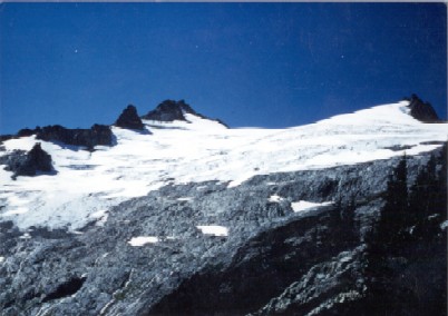
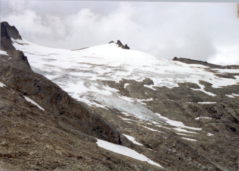
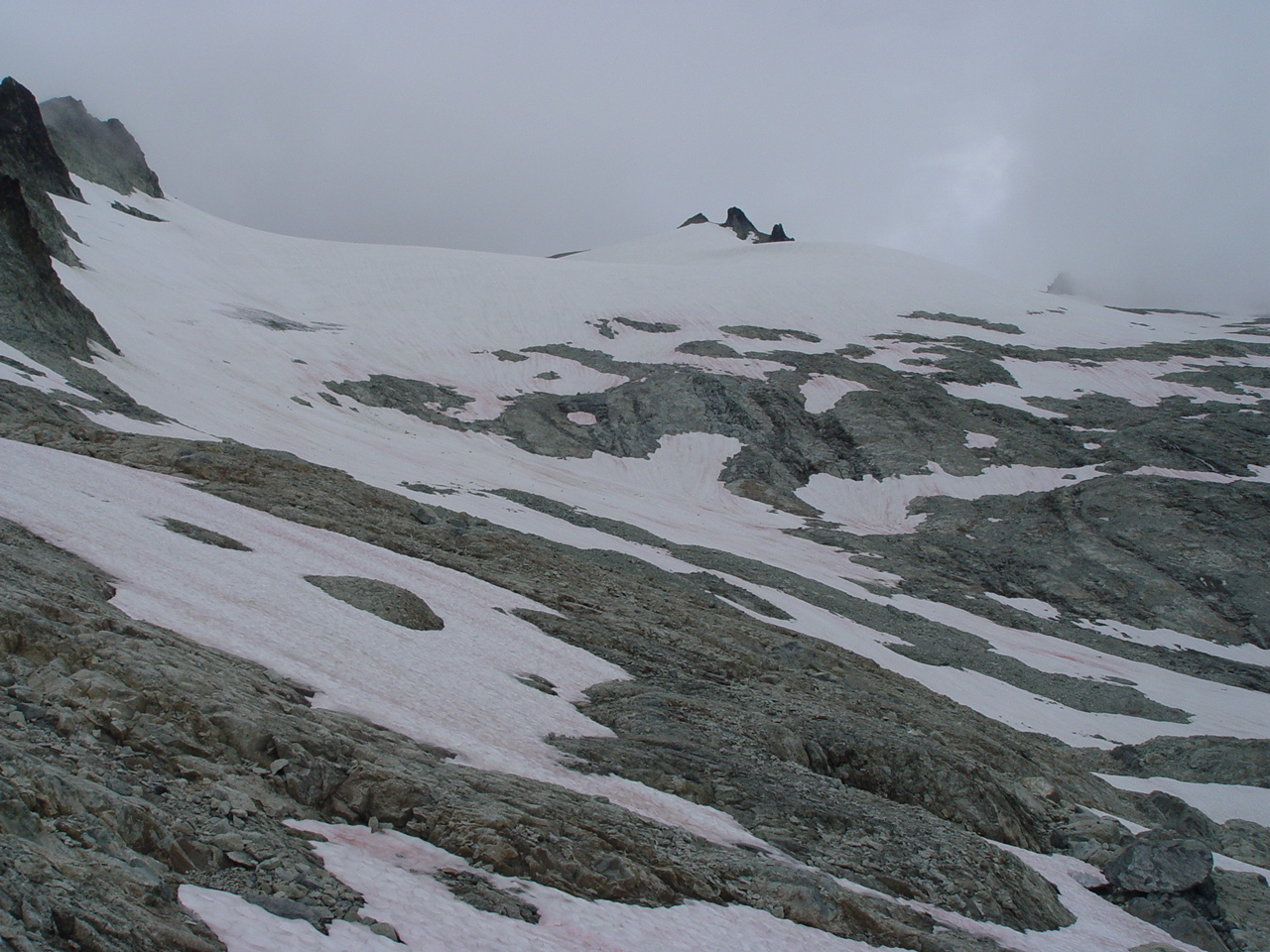
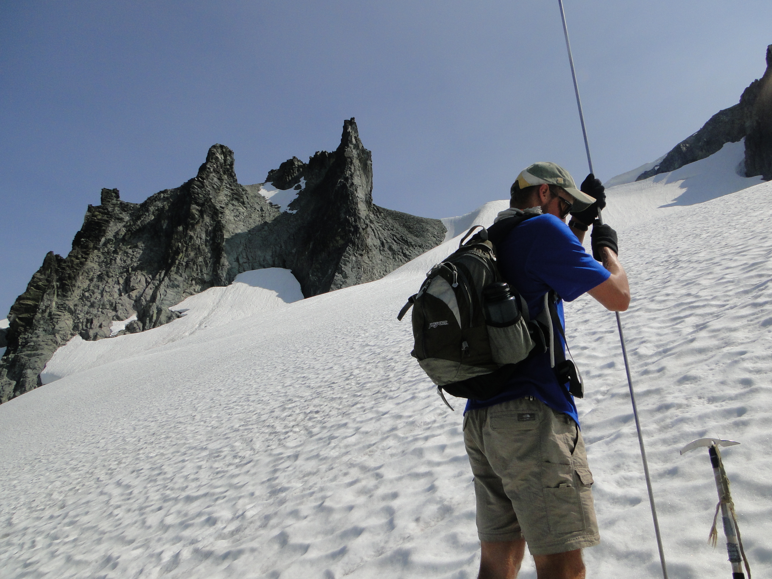
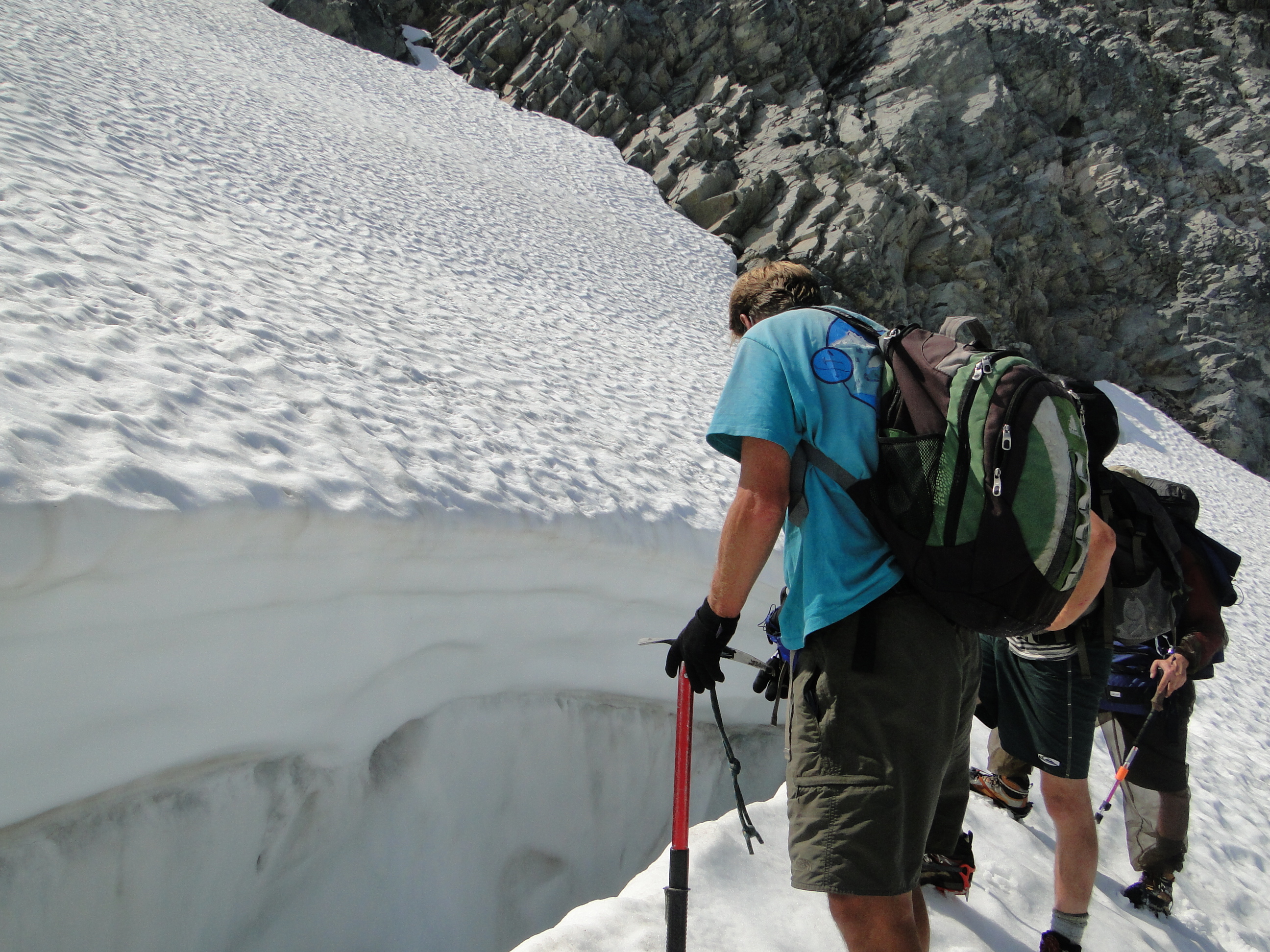
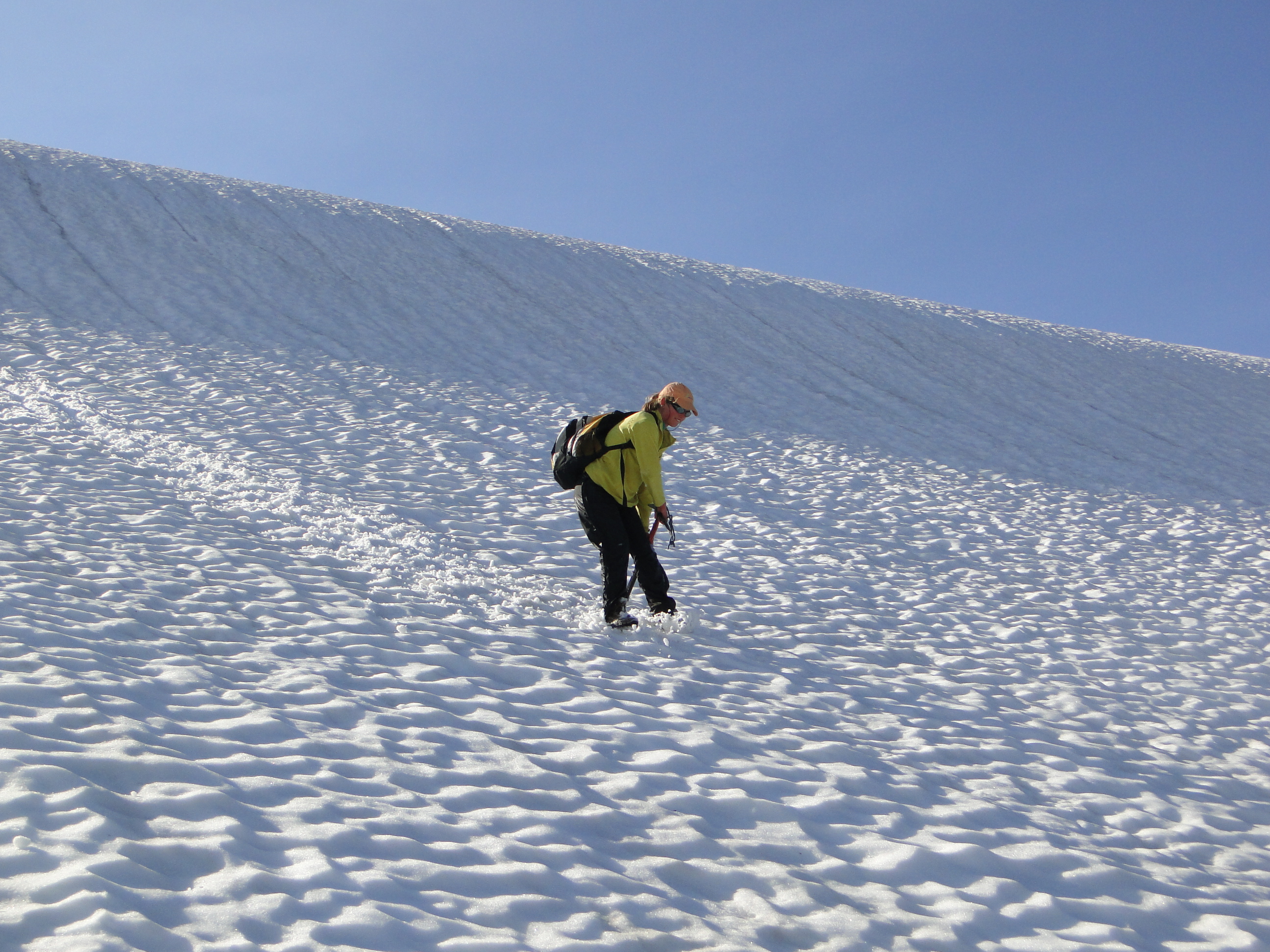
By 2000 this area is just a gentle snow slope over a now stagnant section of glacier ice. The terminus extending to the right is also rising across the entire width of the glacier.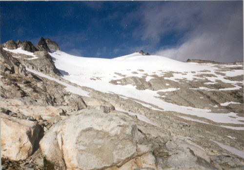 Images from 2007, 2009 and 2010 indicate the continued emergence of new rock outcrops formerly covered by the glacier. The terminus continues to retreat up slope and by 2010 has retreated over 500 meters in 25 years. The loss of area is now 30% of the 1984 glacier area. Note the lines showing the 1985 margin and 2010 margin. In 2009 and 2010 we did not find an area on this glacier with accumulation depths over a large enough area to sustain a glacier. We have measured the glacier’s mass balance each year since 1984. The cumulative loss of -14 meters is nearly a third of the volume lost as well. In 2010 our measurements indicated another year of negative mass balance will occur this year. We measured the snow depth in crevasses and using probing at 90 locations on Daniels Glacier. The steep slope 34 degrees makes for cautious but good glissading down glacier in the last image.


 Dean of Academic Affairs at Nichols College and Professor of Environmental Science at Nichols College in Massachusetts since 1989. Glaciologist directing the North Cascade Glacier Climate Project since 1984. This project monitors the mass balance and behavior of more glaciers than any other in North America.